Remnants of the ice age in Lintusalo’s terrain
Puumala and Lintusalo are part of the Saimaa Geopark. Read more about the Saimaa Geopark. The traces left in the terrain by the ice age have been studied. When the ice began to melt, it retreated to the north-west, and the thaw water carved out channels and high points in the north-west to south-east direction. These are apparent on the National Land Survey of Finland’s MapSite when you select the hillshade overlay.

Ridges
When you arrive in Lintusalo by road, you will first reach the north-south ridge area, which begins in Pieksämäki and ends in Kyläniemi in South Karelia, where Salpausselkä II runs from north-east to south-west.
From the holiday homes in Nestorinranta, Kauppiaanranta is right at the foot of the ridge area, and it is easy to go for walks along the ridge trail. In the winter, you can climb up and down the ridges in snowshoes.

Kettle holes
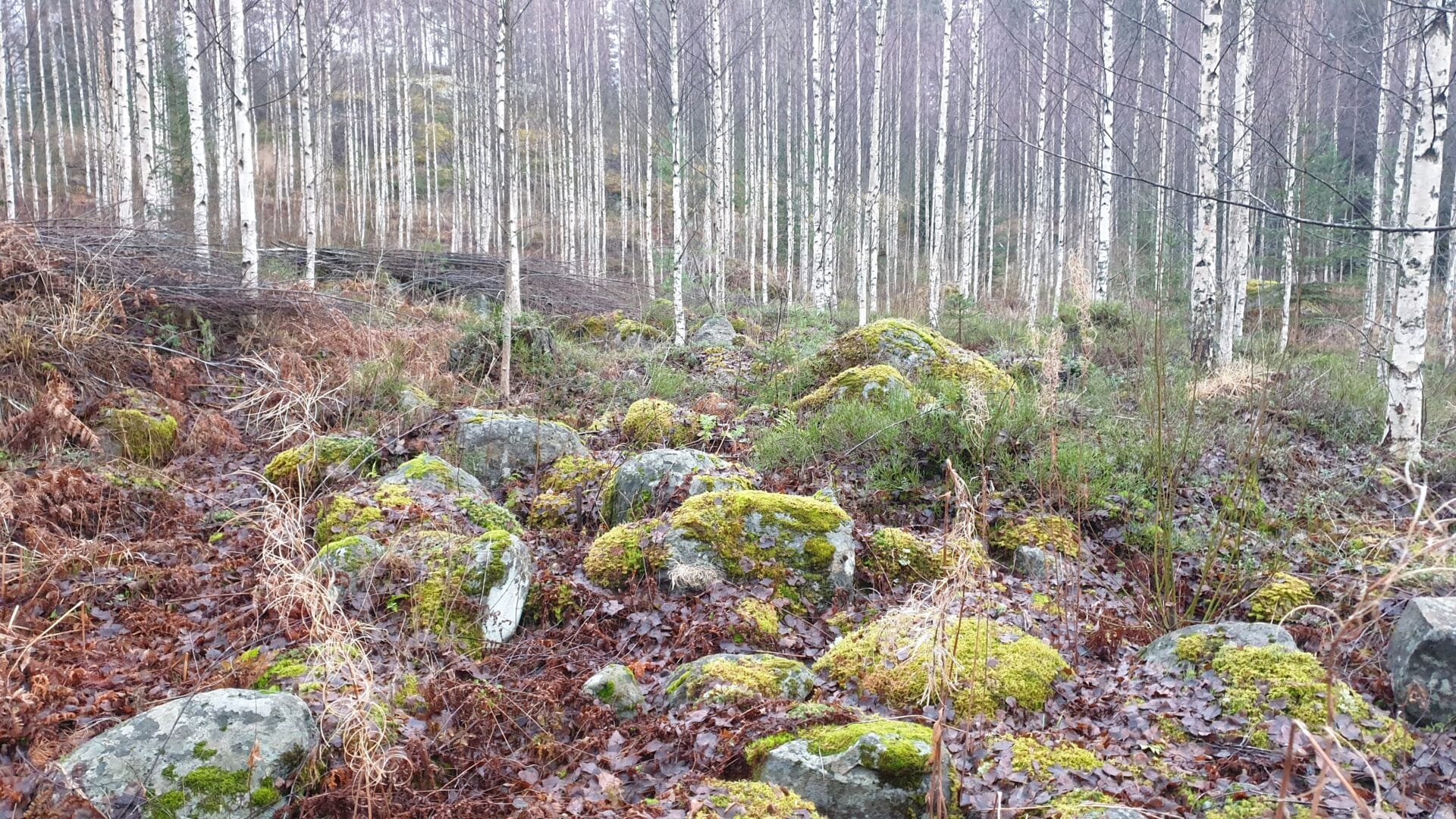
When the ice began to melt 11,000 years ago, the thaw waters created chains of ridges. In some places between them, round kettle holes were created when large ice boulders became lodged in place and gradually melted. These kettle holes are also visible along Lintusalontie when heading for the north end.

Drumlins
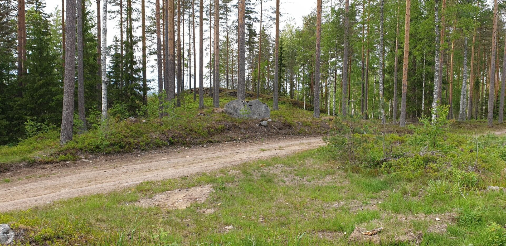
The main building at Nestorinranta is located on top of a drumlin running from the north-west to the south-east. A drumlin is an area of elevated land created when the flows of water from thawing ice collided with the rock and forked off on either side of it.
The drumlins created by thaw water in the ice age are always aligned on the axis from the north-west to the south-east because the ice retreated to the north-west. The soil left on the rocks in the south-east is glacial till. Here in the Lake Saimaa region, this soil is often the best for cultivation, and it is one of the reasons why farms were often built on drumlins. This is clearly evident in the village of Lintusalo.

On the “Traces of the ice age” trail
In the Nestorinranta area, the “Traces of the ice age” trail shows visitors how the ice age affected the terrain.
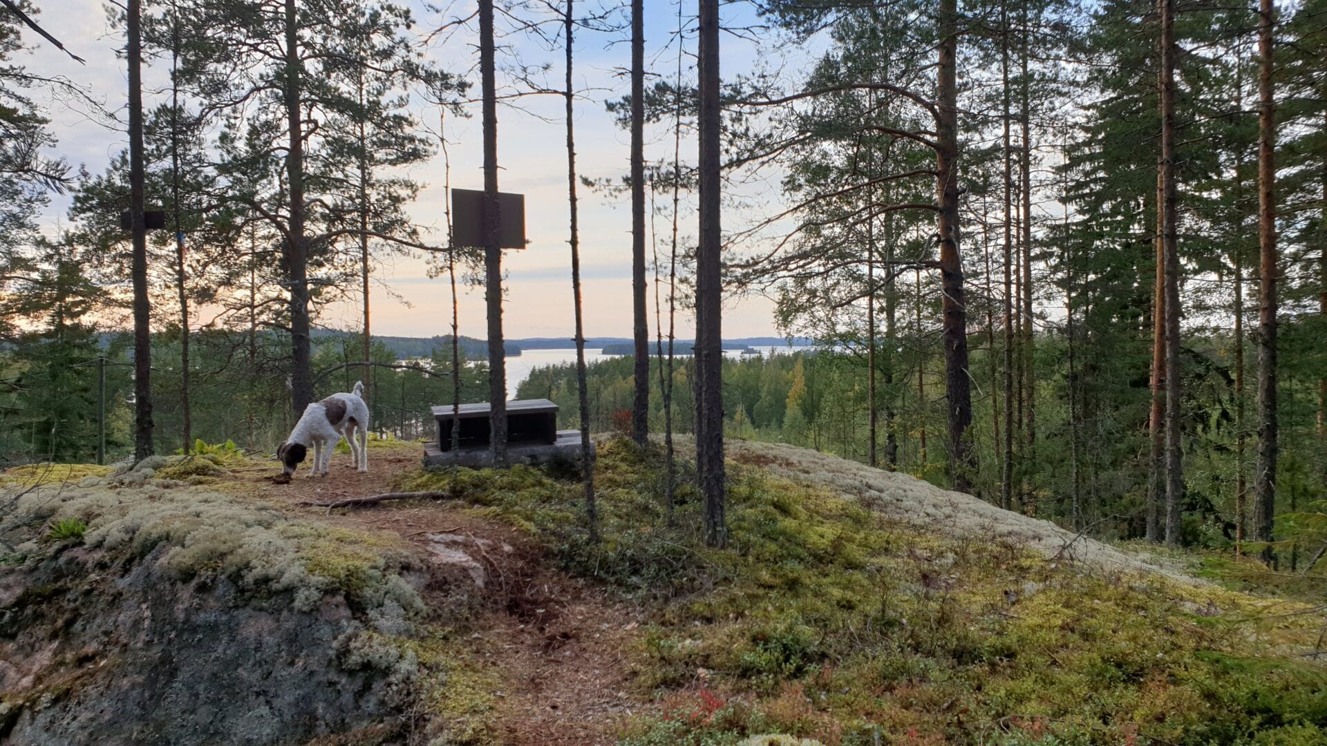
The trail passes a drumlin that stands out very clearly in the terrain. At the north-west end of the drumlin is a rocky peak with stunning views over Lake Saimaa. On the south-east side is a “glacial till tail” that can be easily distinguished because the trees have been felled from it. The drumlin is also just the right size to be readily visible.
The trail passes two ancient shorelines, including a beach that has been there since the ice first melted, although it is 103 metres above the current sea level. The next shore visible in the terrain is 92 metres above sea level.
The lower ancient shoreline is connected to a terrace that can be clearly discerned in the terrain. The terrace was formed when waves lapped against the coast. Extensive rock formations also point to the existence of an ancient lake or seabed, as the waves have washed away the lighter soil layers from the rocks.
Outdooractive also has plenty of information about the Nestorinranta ice age trail.